I love coming across derelict mill sites in the woods. The other day I found three of them in as many (or fewer) miles. This stretch of brook must have been really important a couple hundred years ago. Alas I couldn't find any information online about when they were built and what they were for. Maybe the historical society has info, but I'm lazy.
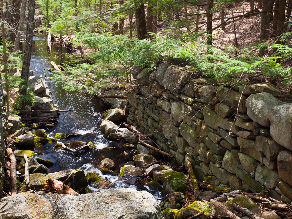
Big Mama - the largest one I saw
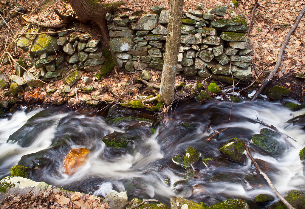
The next one downstream - I love the trees that are growing in and near the far wall. It's tough to get decent photos of these ruins, a lot of it is the terrain, but sometimes it's the light too. Still this perspective works for me.
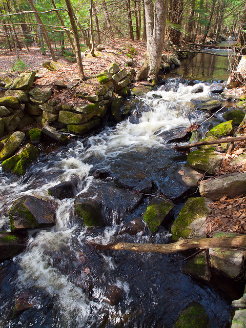
This last one was intriguing. The area on the map is labeled spillway, and sure enough just over the earthwork on the left is a section of river that is very slow moving. I followed the bank about as far as you can see in this shot and the divide looks deliberate and man-made for sure. They probably used the spillway to regulate the flow of water to the mill when the spring runoff arrived. Still can't find any info on the mill itself though. Bummer.
I had to wedge myself in a the fork of a tree and lean out to get this, thus the fast-ish shutter speed. And the light is a bit harsh, but I like it anyway.
so thanks for having a peek and indulging my latest obsession.


 LinkBack URL
 About LinkBacks


 Reply With Quote

Bookmarks